Community
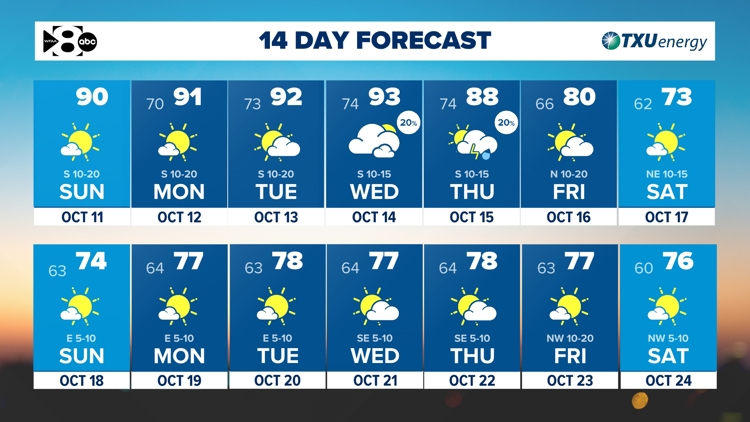
DFW Weather: Another warm stretch ahead but tracking a cold front next week!
By Marcus Chen
WFAA (Dallas-Fort Worth)
Advertisement
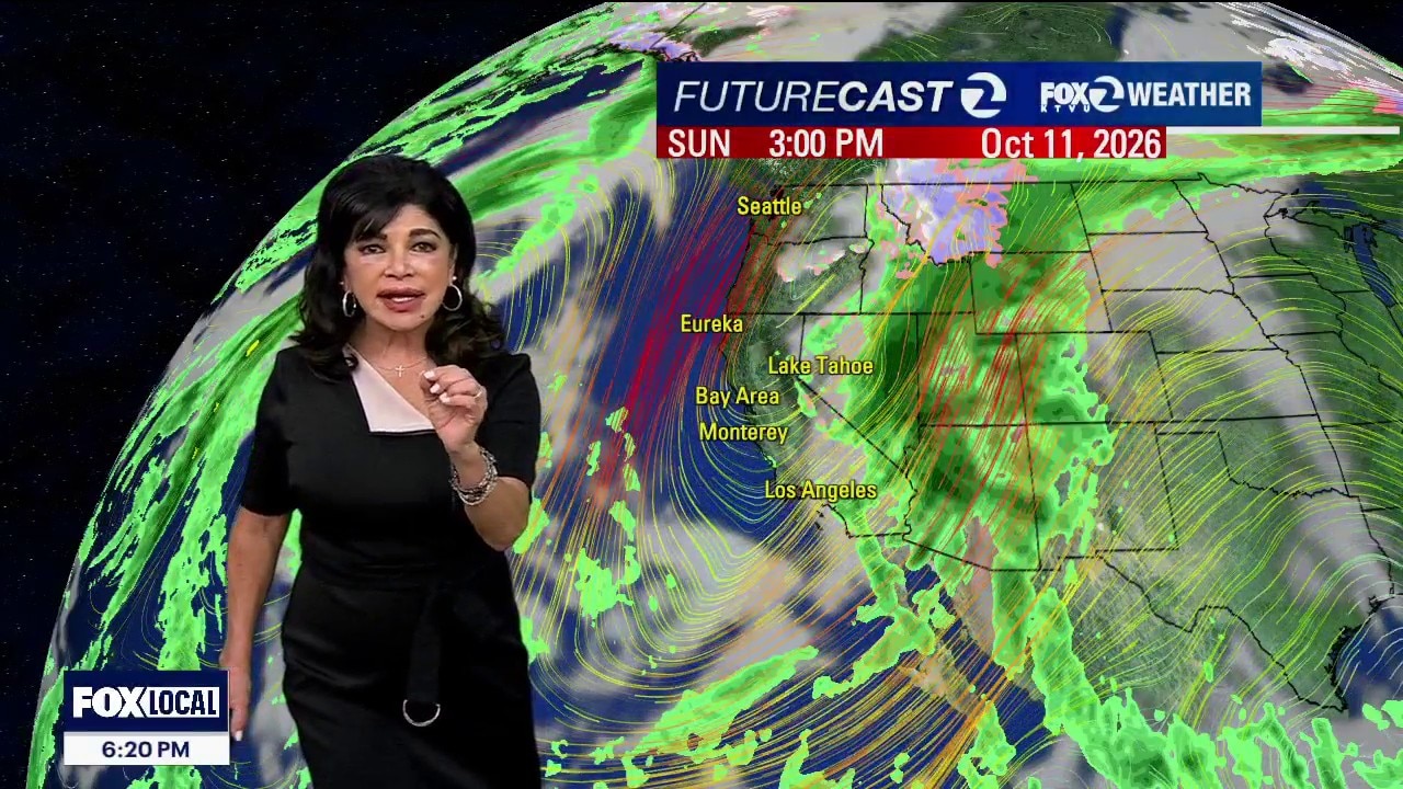
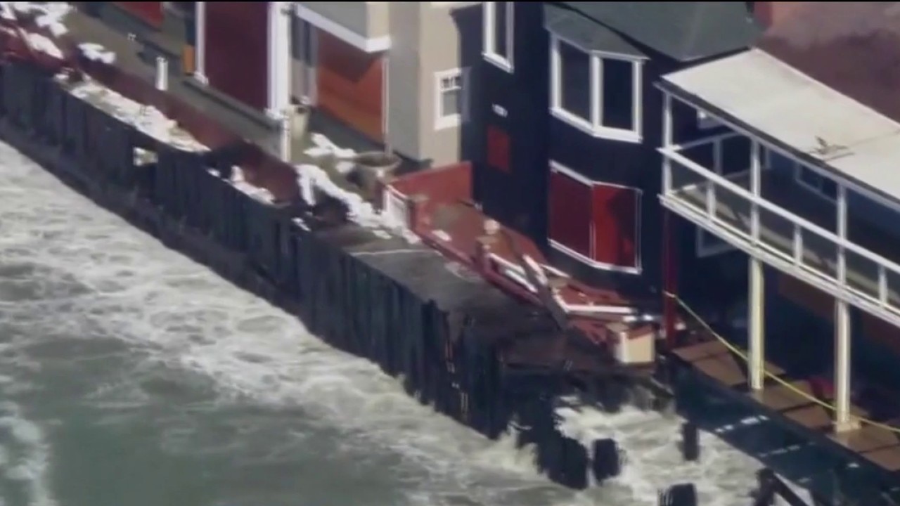
Happy Saturday night! A mostly dry cold front sweeping across Northern California has dramatically tightened regional pressure gradients. The Gust Peak: Northwest winds will roar across the region through Sunday evening. Expect widespread sustained winds of 15 to 25 mph, with frequent gusts hammering between 35 and 45 mph directly through favored mountain gaps, coastal passes, and wind-prone bayshore channels like the San Bruno Gap and Altamont Pass. Active Marine & Coastal Advisories Beach Hazards Warning (Active through Monday Evening): A dual, long-period ocean swell is generating dangerous breaking waves up to 16 feet. This creates a critical, life-threatening risk for sudden, massive sneaker waves and intense rip currents. Do not approach the surf line. Stay completely off beach sand, coastal rocks, and jetties. Never turn your back on the ocean. Coastal Flood Advisory (Active through 3:00 PM Tuesday): High astronomical tides will force minor saltwater flooding into low-lying s
By Marcus Chen
WFAA (Dallas-Fort Worth)
By Katherine Langford
KTVU FOX 2 Bay Area
By Katherine Langford
KTVU FOX 2 Bay Area
By Katherine Langford
KTVU FOX 2 Bay Area